
Before heading out to our daughter’s RV we decided to visit the Calgary Zoo. As a teenager in high school, Vicki was a part-time cashier at an entrance gate. Over the years we have enjoyed many visits to the zoo with our children. The Zoo first opened in 1917 on St Georges Island in the Bow River. The first animals on display were two mule deer with other native animals soon to follow. The Zoological Society was formed in 1929 to take over the operation of the Zoo from the city.
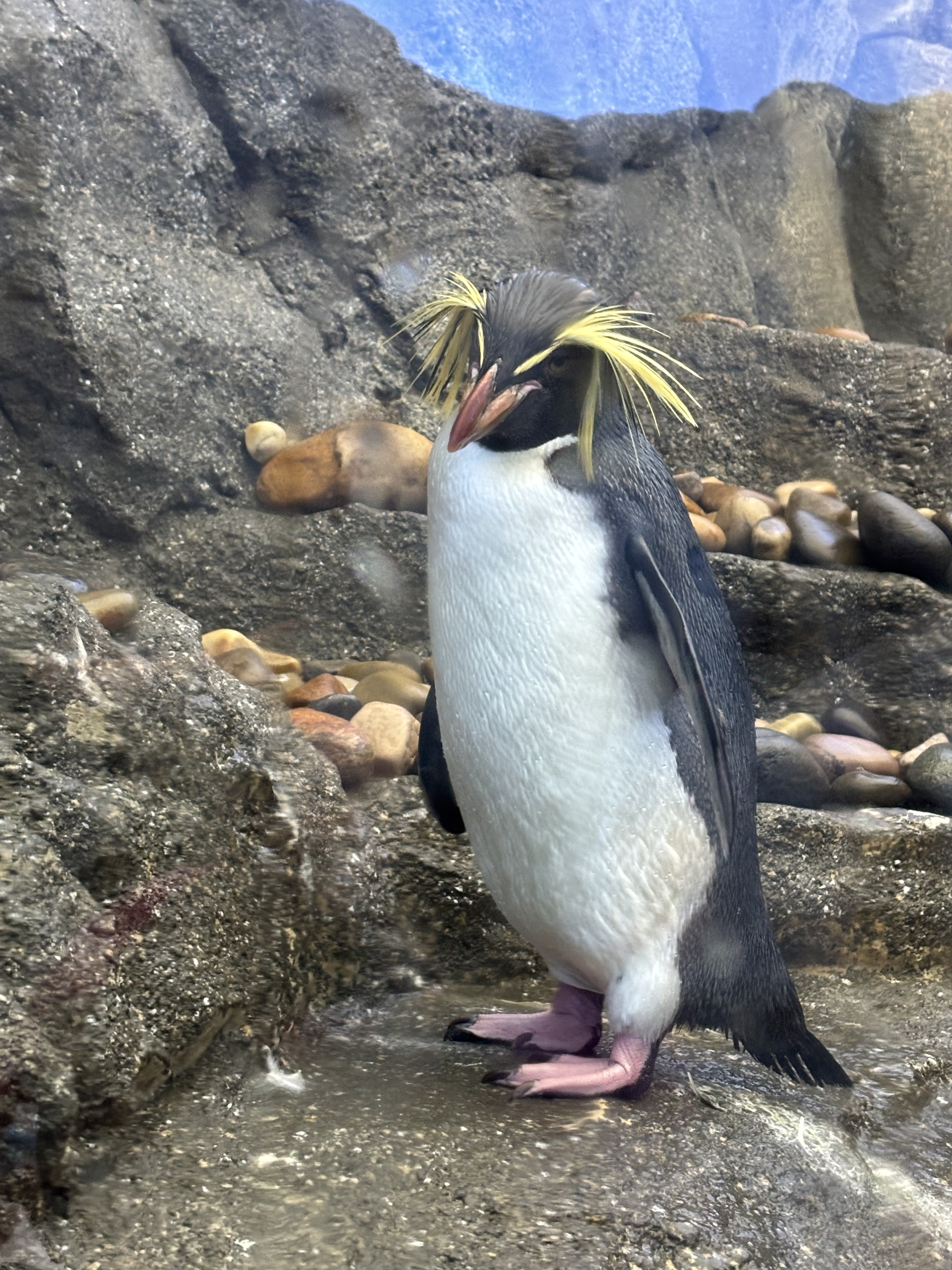
ROCKHOPPER PENGUIN, PENGUIN PLUNGE CALGARY ZOO
We were interested to see what new displays and enclosures had been build since our last visit. New to us is the Destination Africa exhibit, Land of Lemurs, the Penguin Plunge and Wild Canada. Interestingly, many of the animals in these enclosures we have seen in their natural habitats in Africa and during our cross country road trip.
Friday afternoon found us heading south down Highway 2 towards Ft MacLeod. At the junction with Highway 3 we turn west and then south down Secondary Highway 810 to the bustling hamlet of Glenwood. Here Lindsay has situated her RV on a ridge in an RV park overlooking the Waterton River. All the way down the sun was obscured by smoke from the fires in BC and Washington State. I’m afraid the smoke will be our constant companion until we arrive home. This part of the province is usually very windy. We used to joke that the windsock at the Pincher Creek airport is a logging chain. Unfortunately, it’s not blowing the smoke away but it is making the wind turbines spin. TransAlta, the large power generating company operates a massive wind power installation with towers spread out for miles. Viewing the blades spinning in the smoke diffused sunshine has a surreal look to it.
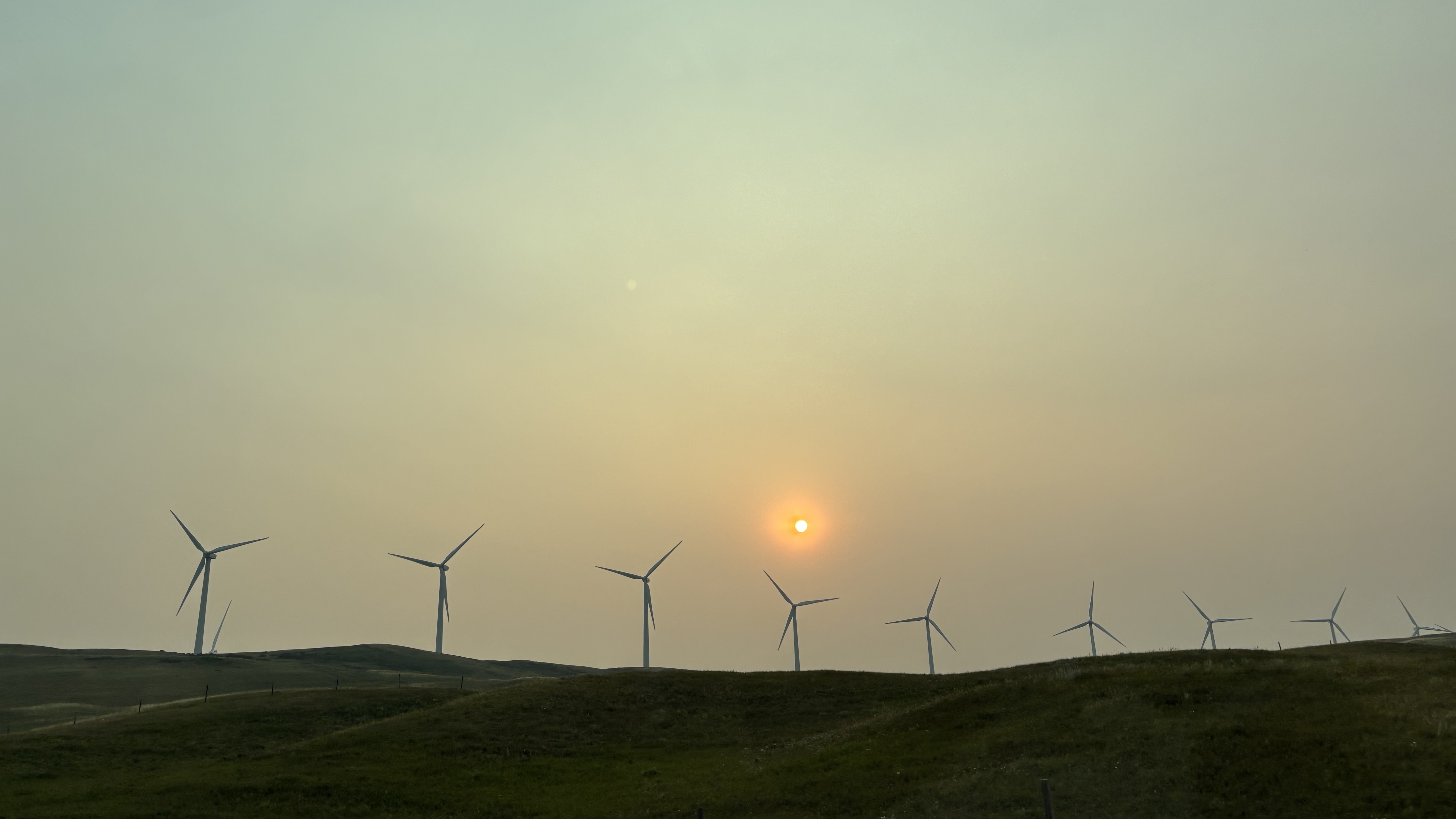
TRANSALTA WINDFARM
Saturday “at the trailer” had us heading for Cardston Alberta for the Carston Heritage Day parade. Cardston was founded in 1887 by Charles Ora Card and a group of 41 Mormon followers who left Utah and came to Canada to escape the American anti-polygamy laws. The first LDS temple outside of the United States was completed in Cardston in 1923. Today is the annual Heritage Day celebrations complete with a parade, pancake breakfast and a rodeo. The parade had all the requisite parts: marching band, pretty girls on horseback, old trucks, local politicians and I can only assume to be a rodeo clown riding a buffalo. Of course, every float that went by was distributing copious amounts of candy. The local dentist is overjoyed.
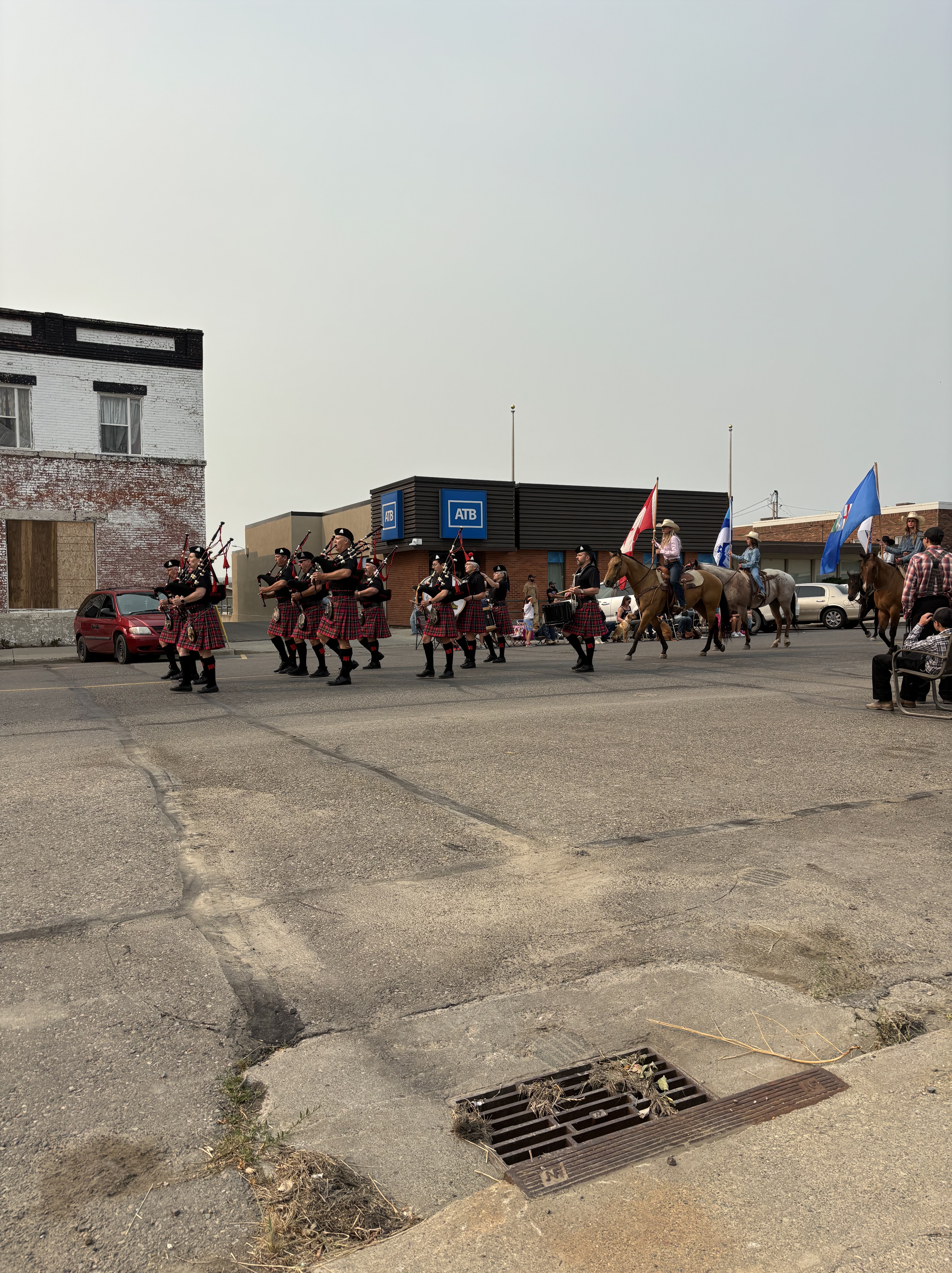
LETHBRIDGE POLICE PIPE AND DRUM BAND WITH PRETTY GIRLS ON HORSEBACK
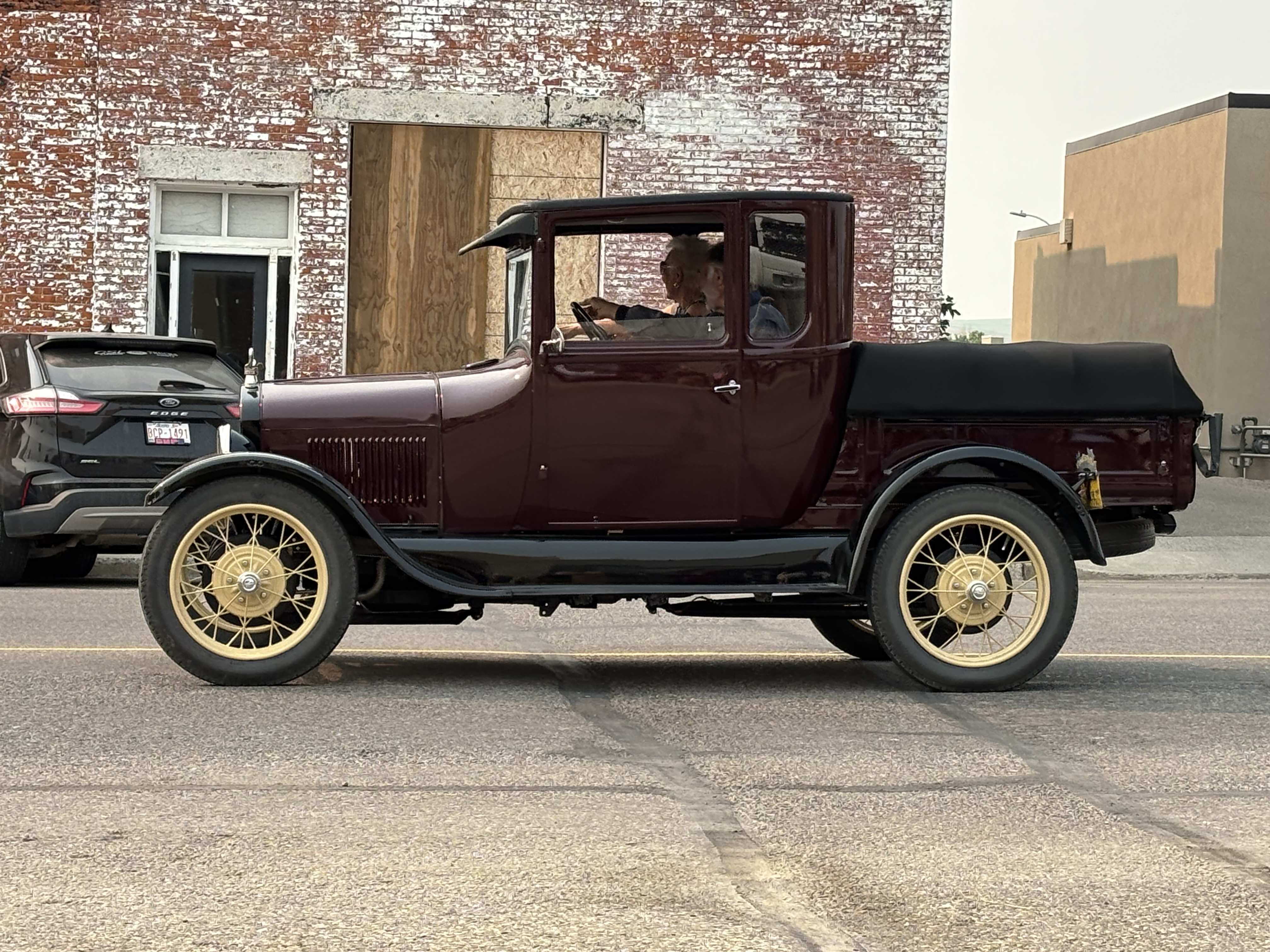
1929 FORD MODEL A PICKUP (thank you Google)
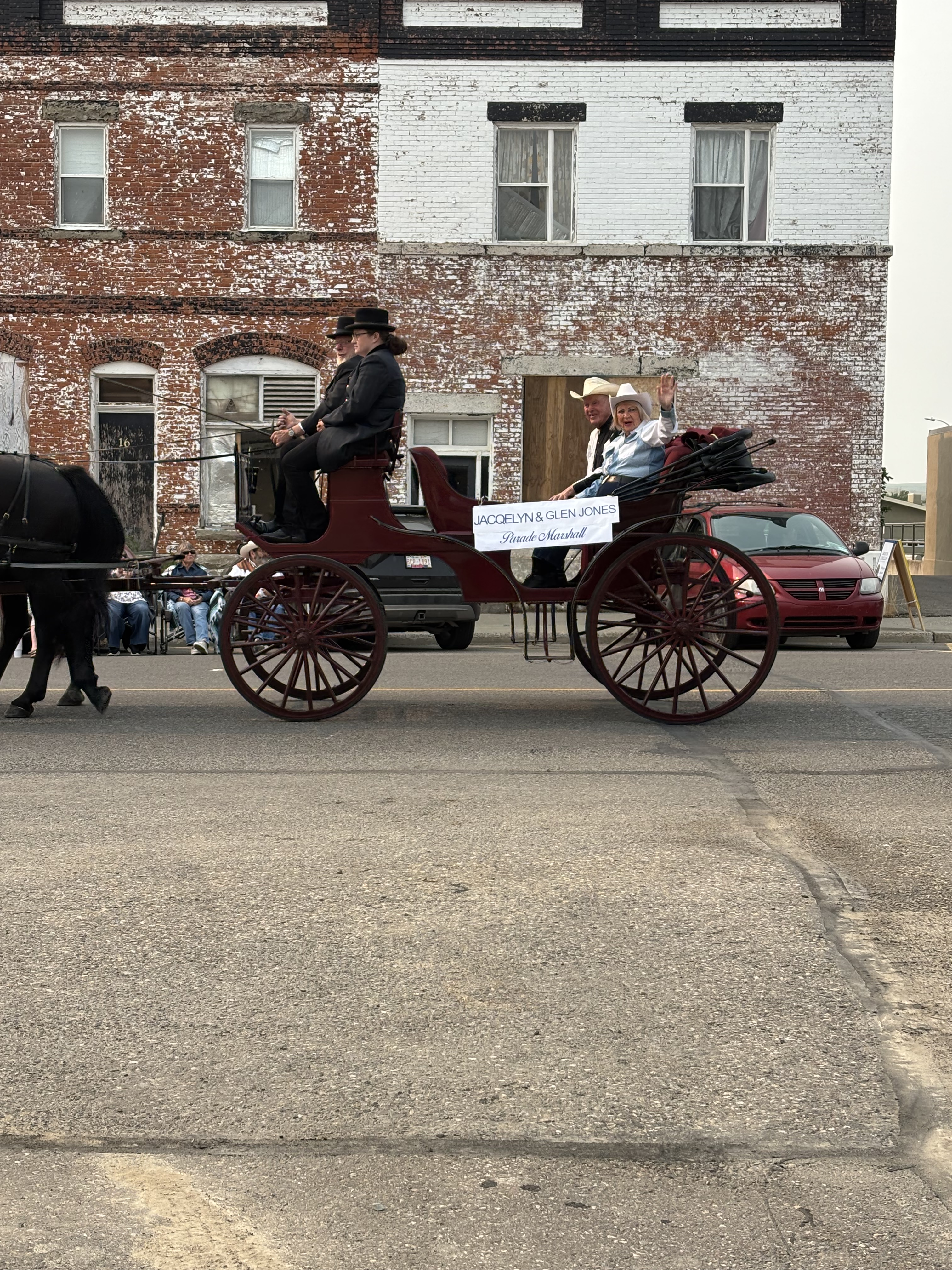
PARADE MARSHALS AND POLITICIANS
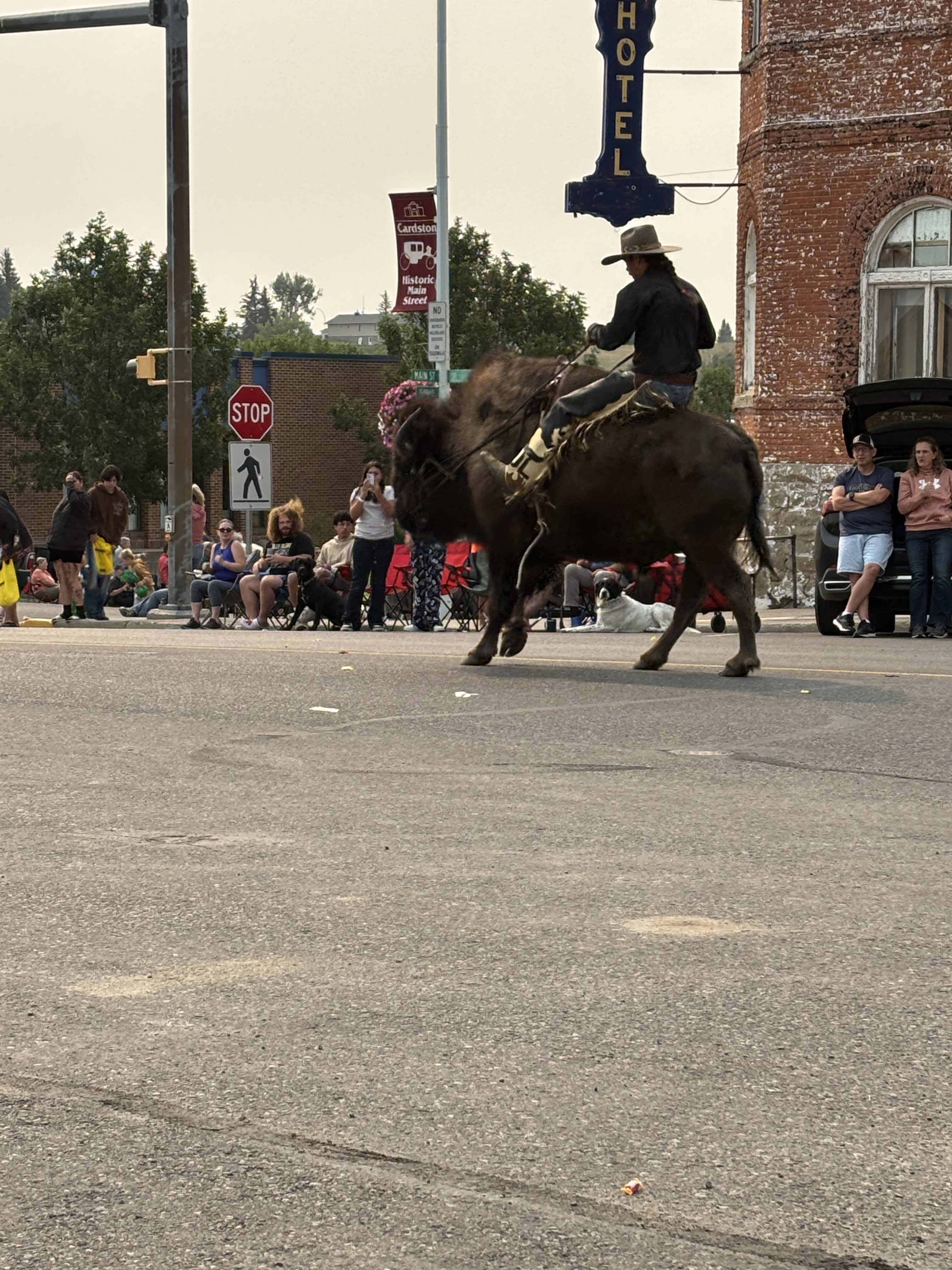
POSSIBLY THE RODEO CLOWN ON A BUFFALO
For the afternoon we journeyed to Waterton National Park and the Waterton townsite. Lots of tourists in town and we enjoyed lunch in the sunshine on an outdoor patio. Interesting to note Rotary’s involvement in the establishment of the Waterton-Glacier International Peace Park, with Rotarians for Alberta, Saskatchewan and Washington State successfully lobbying the respective governments leading to the establishment of the Park in 1932. The beautiful Prince of Wales Hotel is an iconic symbol of the Park.
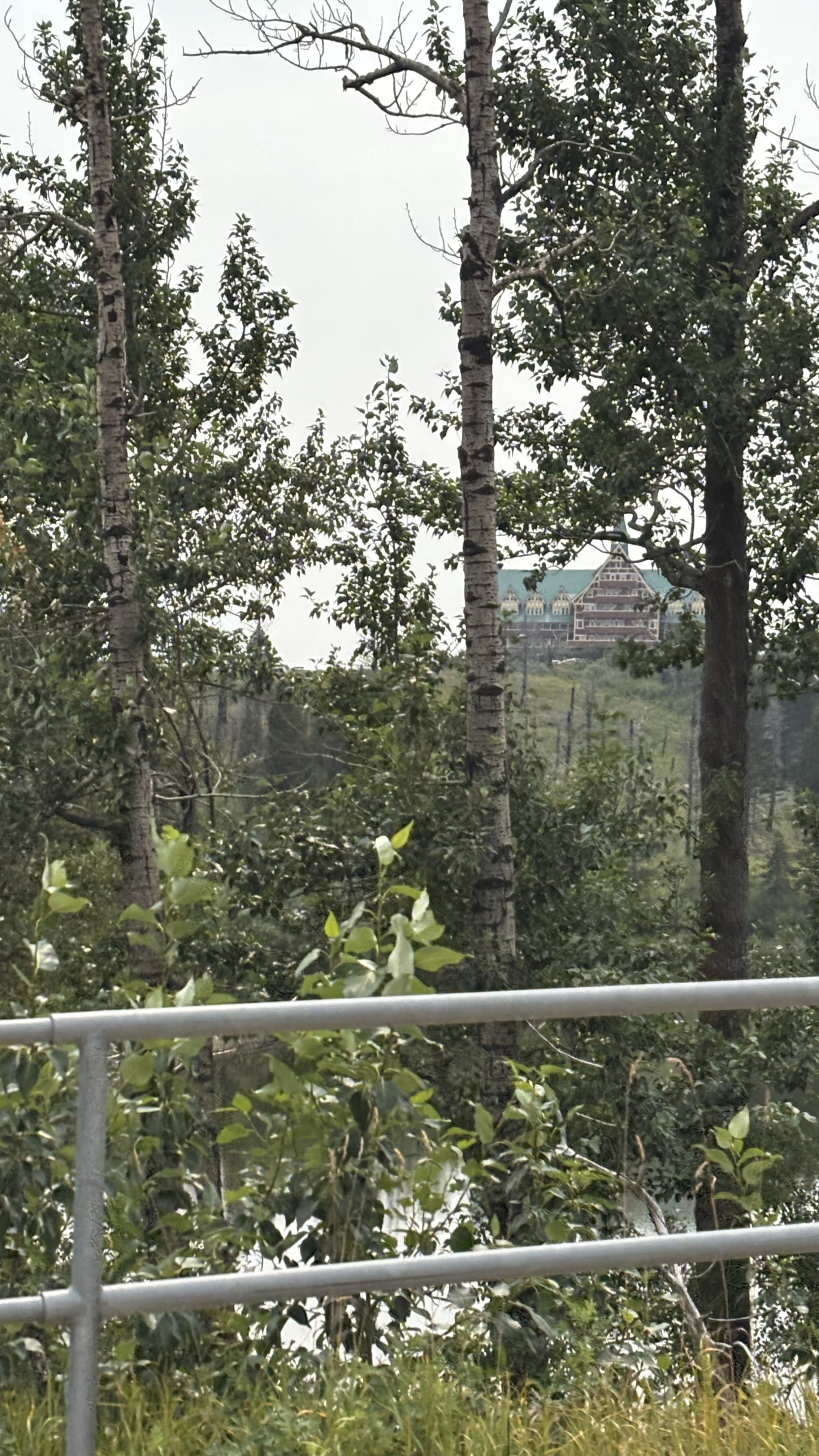
PEEK A BOO VIEW OF THE PRINCE OF WALES HOTEL THROUGH THE TREES OVERLOOKING THE WATERTON LAKE
Heading back to the trailer for the evening we stop to see what was happening in Glenwood. In two words, “not much”. Total population is estimated to be between 280-294 souls. On Main Street you will find Van & Dan’s General Store, Tina’s Café and Bakery, and the Glenwood Pioneer Ice Cream Parlour and Cheese Factory Museum. We managed to spend money at all three emporiums.
So that is our big day in southwestern foothills of Alberta. Be a real shame if they did decide to pursue independence. Will have to watch the developments there very closely. Tomorrow we begin the last phase of our journey, a dash across the BC through the smoke. I hope no road closures effect us. Take care.
 Graham and Vicki's World Adventures